Explore Datasets
Browse and search through our comprehensive collection of geographic datasets.
Found 8 datasets

Global Elevation Data
High-resolution global elevation dataset covering all land areas with 30-meter resolution.

Urban Land Cover Classification
Detailed land cover classification for major urban areas with 10-meter resolution derived from satellite imagery.

Global Population Distribution
High-resolution population density estimates at 100-meter grid cells for the entire world.

Global River Network
Comprehensive river and stream network data covering major watersheds worldwide.

Satellite Imagery Mosaic 2023
Global cloud-free satellite imagery mosaic with 10-meter resolution from multiple sources.

Global Climate Zones
Detailed climate zone classification based on temperature, precipitation, and seasonality patterns.

Administrative Boundaries
Global administrative boundaries at multiple levels (country, state/province, county/district).
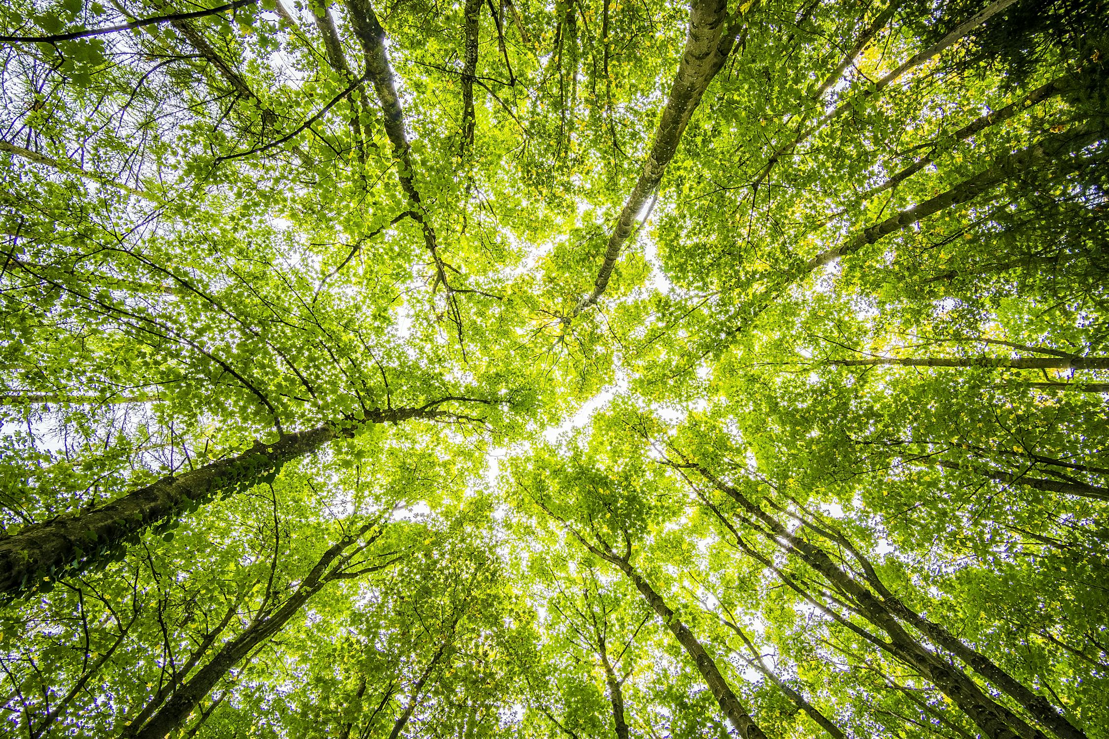
Forest Cover Change
Annual forest cover and deforestation data from 2000 to 2023 at 30-meter resolution.